After leaving Apple last year, engineers Souroush Salehian and Mina Rezk co-founded Aeva in Mountain View, California, and recently unveiled its 4D LIDAR system. They say this next generation version of LIDAR (Light Detection and Ranging) technology is superior to what is found in most autonomous vehicles (AVs) in test mode on the road today. Salehian and Rezk hope to secure deals with automakers, making their LIDAR a new foundational backbone to the emerging AV market.
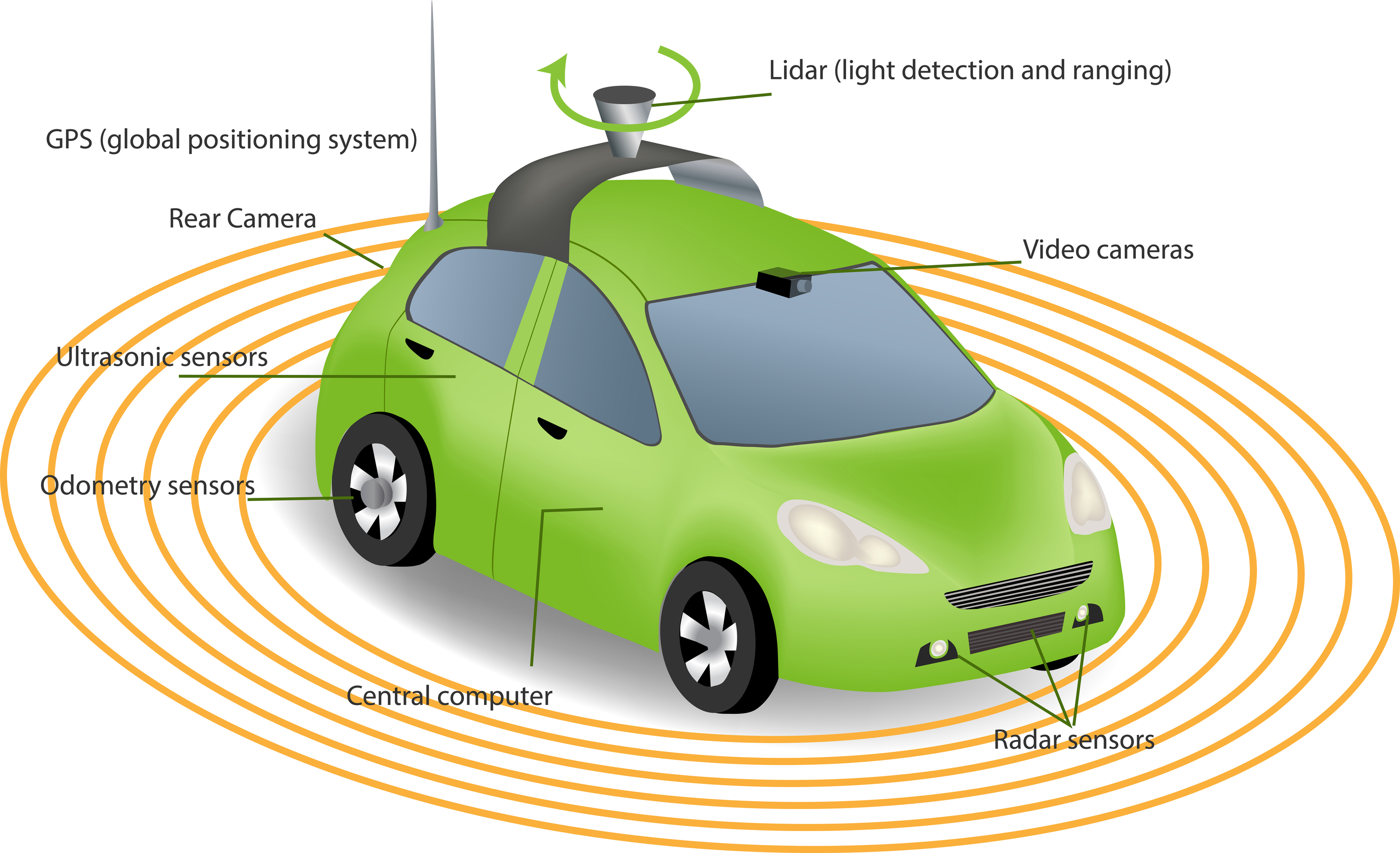
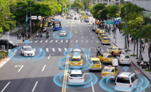
LIDAR is the 3D mapping technology instrumental in allowing AVs to measure the distance of objects and “see” the road.
Aeva promises its state-of-the-art LIDAR offers a better pair of eyes for the artificial intelligence (AI) algorithms that power self-driving systems. The lightweight, low-power box it’s housed in contains all the other types of sensors and cameras needed for an AV to see and make sense of every component within its field of vision. It’s affordable, easy to manufacture, and will work with pretty much any self-driving software from any company.
Salehian says Aeva’s LIDAR encompasses a mix of hardware and software that does a superior job of capturing data about its surroundings.
It can more directly measure objects in a given scene and the distance and velocity of those objects relative to one another. Its ability to measure the velocity of objects enables the software to predict where cars and pedestrians are going and whether they are moving away from or toward it. Its sensing system is capable of completely shutting out interference from other, similar sensors. And, thanks to a reflectivity sensor, Aeva’s LIDAR can operate in all weather conditions and in the dark.
The Key Differentiator
 Unlike other LIDAR products on the market, which send pulses of light at various intervals to help create a 3D map of the environment, Aeva’s LIDAR continuously sends out pulses of light. This method allows it to gather data faster and more directly. It saves time by skipping the steps involved in feeding data into a central AI system that then tries to make sense of it all before making a decision. A lot of the laborious measurement work is done right away.
Rezk explains, “Everything here is a direct measurement rather than any algorithms involved. Our 4D LIDAR tech can measure the depth, reflectivity and velocity in a single laser shot, all instantaneous. No need to spend time looking at frames.”
Register Today: Webinar and Online Training Program
LIDAR is just one of many technologies helping to make AVs a reality. AV technologies are developing rapidly and the best way to stay on top of them all is with continued professional education.
Learn more about the foundational and practical applications of autonomous, connected and intelligent vehicle technologies during a free one-hour webinar taking place at noon EST, November 8, 2018. The webinar will be led by Dr. Alexander M. Wyglinski, Professor of Electrical & Computer Engineering at Worcester Polytechnic Institute (WPI), President of the IEEE Vehicular Technology Society, and Director of the Wireless Innovation Laboratory (WI Lab).
Coming soon, IEEE Guide to Autonomous Vehicle Technology is a six-course online training program developed by some of the leading experts in AV technologies. It provides valuable insight into the AV world and the future of this exciting industry.
Resources
Statt, Nick. (1 Oct 2018). Ex-Apple engineers unveil a next generation sensor for self-driving cars. The Verge.


I like what you said about using LIDAR for 3D mapping and measuring distance. My sister wants to get some mapping done in the coming weeks. I’ll share this information with her so that she can look into her options for professionals who can help her with this.